Heart of the Mother Road
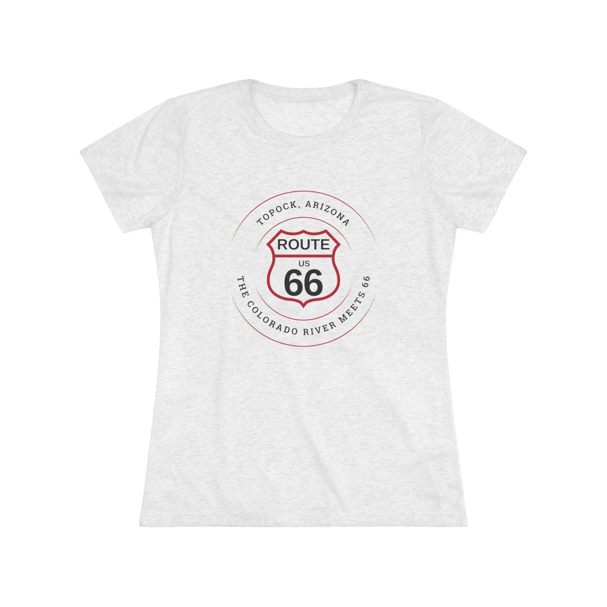
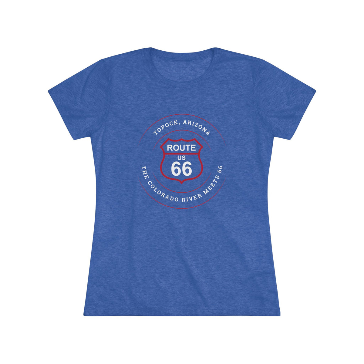
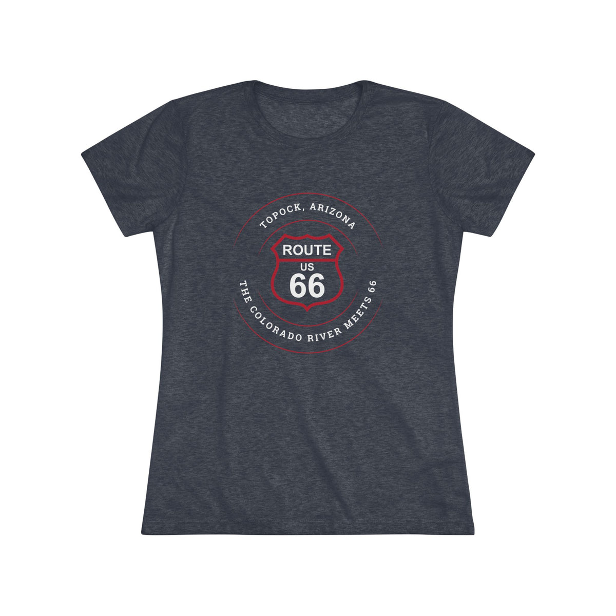
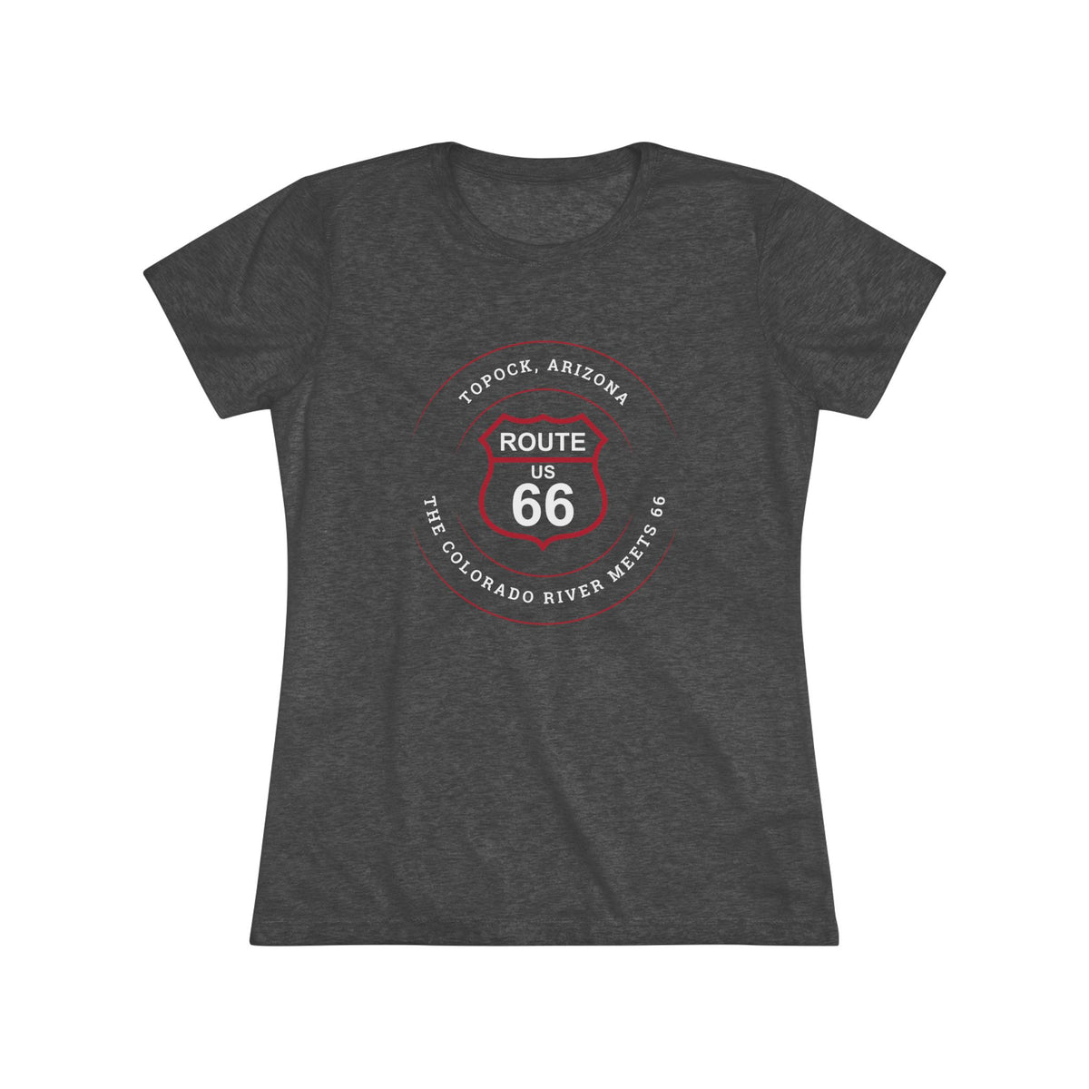
Topock, AZ: The Colorado River Meets 66 Women's Tri-Blend Tee
Topock, AZ: The Colorado River Meets 66 Women's Tri-Blend Tee
Couldn't load pickup availability
Part of Our Route 66 Everytown Collection | Topock Edition
Topock, Arizona: The Colorado River Meets 66
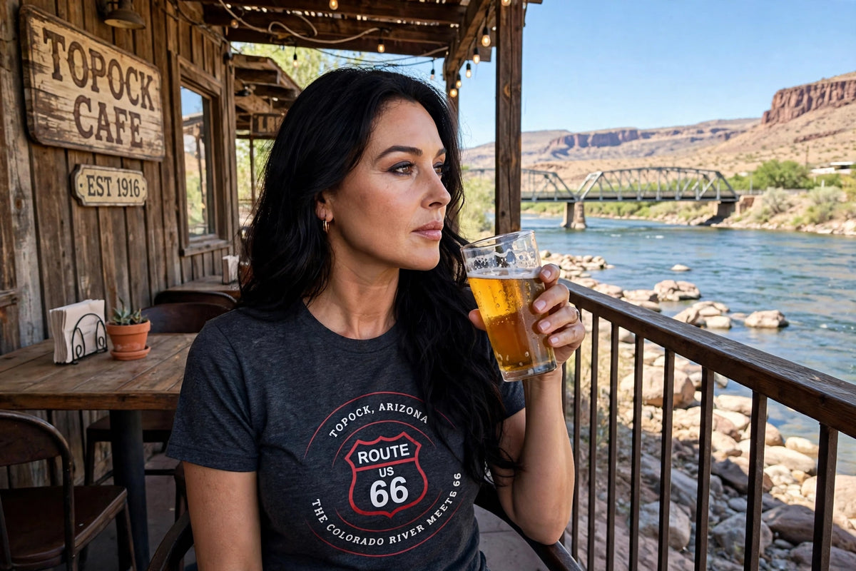
Topock sits on the Arizona bank of the Colorado River, the last Arizona stop where Route 66 once crossed a steel arch into California, with desert, water and a historic bridge all in one view.
Glide over Topock, where a steel arch once carried Route 66 across the Colorado River, in a soft women's tri-blend tee made for river lovers and Mother Road fans.
Part of the Route 66 Everytown Collection: one tee for every town that ever called the road home. Start with Topock, then collect the entire route.
T-Shirt Details & Features
- Next Level 6710 women's tri-blend tee with a slim, feminine fit (see size chart in product image gallery)
- 50% polyester, 25% combed ring-spun cotton, 25% rayon for a soft, lightweight drape
- Crew neck with a tear-away label for comfort
- Available in sizes S–2XL
- Printed in the USA
- Free U.S. shipping on orders of $25 or more, applied automatically!
About Topock, Arizona: Bridges, a Gorge and the Colorado River
Wikipedia says Topock began as Mellen, a railroad station and steamboat landing where the Red Rock Bridge opened in 1890. It was named for steamboat captain John "Jack" Mellon, though the name was misspelled. By 1915 the station carried the name Topock, which the Topock Route 66 guide traces to a Mojave word meaning "to drive piles" or, by another account, "bridge."
A flood destroyed the ferry in 1914, and for a time cars crossed on planks laid over the railroad bridge. Then came the Old Trails Bridge. The National Park Service says Arizona, California and the Bureau of Indian Affairs built the steel arch for the National Old Trails Road, with an 800-foot length and a 600-foot span. The guide dates its completion to February 20, 1916, and notes that it was the longest arch bridge in America until 1928. Route 66 used it from 1926, and sources place the end of its car traffic at 1947 or 1948. Its deck was removed in 1948 for a natural gas pipeline, and the bridge joined the National Register of Historic Places in 1988.
The road changed course around it. According to the guide, Route 66 moved onto the old railroad bridge in 1947, and the I-40 bridge replaced that in 1966. In 1952 the highway left Oatman and followed the railroad through Yucca. Hollywood noticed the crossing. The guide describes a long 1940 scene in The Grapes of Wrath in which the Joads reach Topock and cross the river, and Wikipedia says the crossings appear in the opening credits of Easy Rider.
Nature lies close by. The Havasu National Wildlife Refuge protects 30 river miles, including the 20-mile Topock Gorge, where boaters, canoeists and kayakers can watch wildlife from the water.
Keep rolling along Route 66 with our unisex tee for Needles in California to the west or our women's tank top for Oatman and our unisex tee for Yucca to the east. Prefer a classic fit? Pick up our unisex Topock tee.
Care Instructions
- Machine wash: cold (max 86°F / 30°C)
- Tumble dry: low heat
- Non-chlorine bleach as needed
- Iron: low heat
- Do NOT dry clean
Bring a piece of Topock home. Carry a piece of the Mother Road's history. Add this tee to your cart, then explore every Arizona town on Route 66.
Share